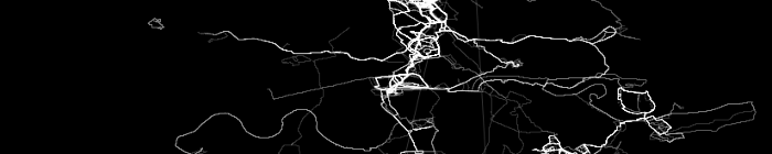
Choose one or more GPX files and all your routes will be plotted on one image. Your files stay on your computer: the plot is drawn in your browser and nothing is uploaded. See the documentation and examples.
Longitude limits
Set both to the same value to use the min / max values of your files.